Core Indoor Positioning Technologies
We offer several indoor positioning technologies and match the best fit to each scenario
WiFi Positioning
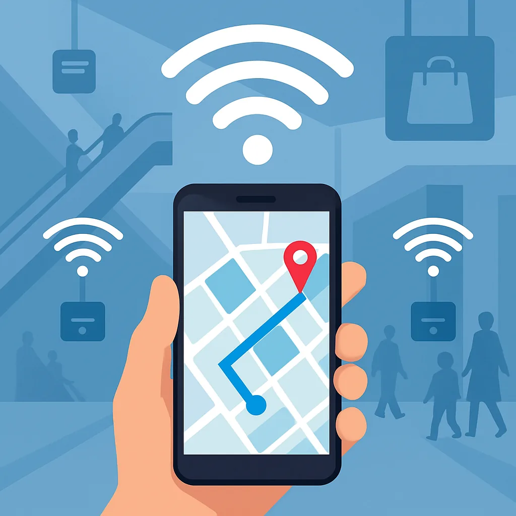
Uses the existing WiFi infrastructure and electromagnetic fingerprint mapping for indoor navigation and positioning, suited to large venues and transport hubs.
Learn About WiFi PositioningBluetooth iBeacon Positioning
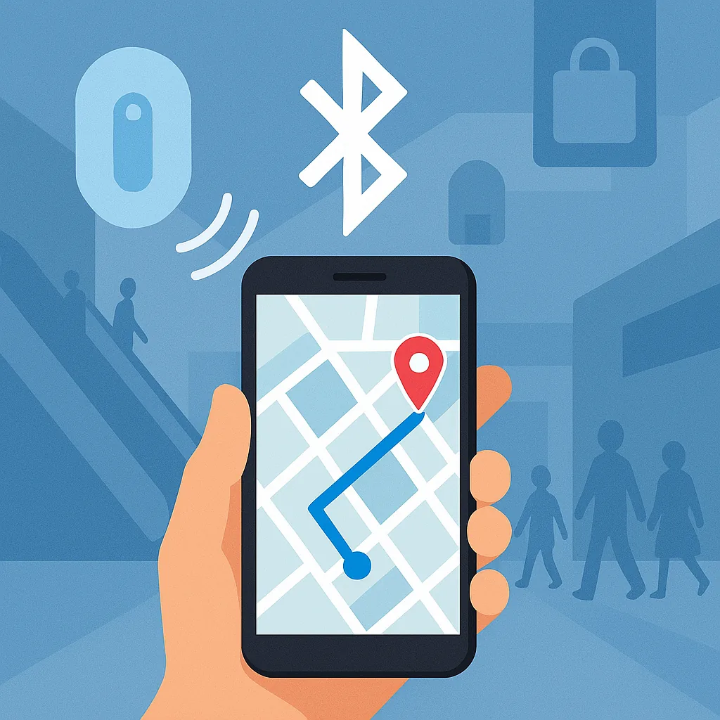
Uses Bluetooth Low Energy beacons for flexible indoor navigation and interactive services, suited to hospitals, exhibitions and shopping malls.
Learn About Bluetooth iBeacon PositioningUWB High-Precision Positioning
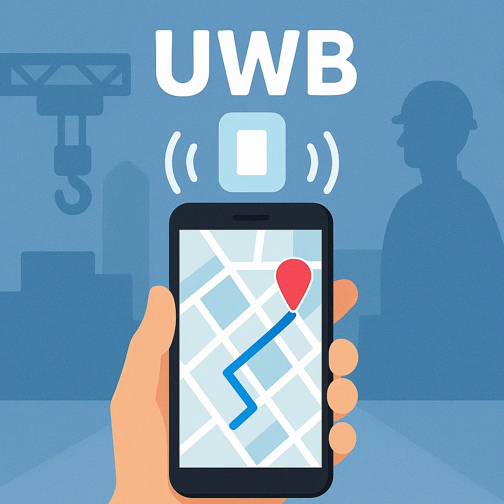
Uses ultra-wideband technology for centimeter-level accuracy, suited to factories, mines and other industrial environments that demand high safety and precision.
Learn About UWB High-Precision PositioningChoosing Among the Three
What decides the choice is usually not "which one is most accurate" but the accuracy you need, the network equipment already in the venue, and whether cabling and power are feasible. Mixing two or more of them in the same venue is common.
Swipe to scroll the table
| Comparison | WiFi Fingerprinting | Bluetooth iBeacon | UWB |
|---|---|---|---|
| Accuracy | 3-5 m | 1-3 m | 10-30 cm |
| Hardware to install | Reuses the WiFi APs already in the venue; usually nothing to add | Add Bluetooth beacons | Add UWB anchors; each tracked person or asset carries a tag |
| Power and cabling | Rides on existing network equipment; no extra cabling | Battery powered, no cabling; battery life varies with broadcast frequency and transmit power | Anchors need power and a network connection; tag batteries last about 1-2 years |
| Works on an ordinary phone | Yes | Yes | Only some mid-range and high-end models include UWB; industrial venues mostly use dedicated tags |
| Relative deployment cost | Low | Medium | High |
| Main maintenance load | The fingerprint map has to be re-surveyed after AP locations or venue partitions change | Beacon battery replacement and location audits | Anchor time synchronization, plus handling non-line-of-sight (NLOS) blockage from metal structures |
| Typical venues | Transport hubs, large venues, shopping malls | Guided tours and arrival-triggered notifications in hospitals, exhibition halls and malls | Personnel and asset positioning in plants and industrial environments |
The accuracy figures are ranges generally achievable in engineering practice; actual results depend on venue structure, metal shielding and node density. The cost column compares the three against each other and is not a quotation.
WiFi Positioning Solution
The Cloud Communication Technology WiFi positioning solution uses the existing WiFi infrastructure together with a patented electromagnetic fingerprinting algorithm to provide accurate indoor navigation for large transport hubs, airports and shopping malls.
Case Studies
- Taipei Main Station - station-wide indoor navigation system
- Taoyuan International Airport - indoor map data for the terminals
Technical Highlights
- WiFi electromagnetic fingerprinting, accurate to 3-5 m
- No additional hardware investment; uses the existing WiFi infrastructure
- Supports multi-floor positioning and seamless indoor-outdoor switching
- Suited to crowded transport hubs and public venues
Maintenance Services
- Map viewer updates and maintenance
- Point of interest (POI) management
- Route planning and electromagnetic fingerprint maintenance
- Regular system performance review and optimization
Map Platform Options
We support several map platform formats so that you get the best indoor map service:
- Apple Maps integration based on IMDF
- Google Maps indoor map integration
- Custom OpenStreetMap (OSM) maps
Bluetooth iBeacon Positioning
The Cloud Communication Technology Bluetooth iBeacon solution delivers accurate, low-cost indoor positioning for hospitals, exhibitions, shopping malls and other settings, and integrates easily with mobile apps to improve the user experience.
Case Studies
- MacKay Memorial Hospital, Tamsui Branch (Taipei)
- Computex, Taipei World Trade Center
- National Taiwan University Hospital emergency department, Taipei
- National Taiwan Museum of Fine Arts, Taichung
- Changhua Christian Hospital
- E-DA Shopping Mall, Kaohsiung
- China Steel plant, Kaohsiung
- Hong Kong International Airport
Applications
- Positioning services combined with OpenStreetMap apps
- Integration into the customer's own app for personalized services
- Exhibition navigation and booth recommendations
- Hospital visit guidance and waiting reminders
- Mall shopping navigation and promotion push notifications
Technical Advantages
- Low power; beacon batteries last 2-3 years
- Simple to install and quick to deploy
- Positioning accuracy of about 1-3 m
- Seamless integration with iOS/Android devices
Case study: Computex (2014)
We deployed 5,000 Bluetooth beacons across TWTC Hall 1 (1F-2F), TWTC Hall 3 and the Nangang Exhibition Center (1F & 4F), serving 8,500 unique users during the show at 3 m accuracy, the width of one standard booth.
At peak hours the on-site WiFi and 3G could not hold a connection, so we used our own offline positioning technique: a position is computed without any network connection, so users kept navigating even with no connectivity.
UWB High-Precision Positioning
The Cloud Communication Technology UWB solution uses ultra-wideband technology to deliver real-time location at centimeter-level accuracy, which suits industrial environments, precision manufacturing and settings with high safety requirements.
Case Studies
- Industrial Technology Research Institute (ITRI) - 5G beam positioning technology validation
- Cal-Comp plant (Shenkeng, Taipei) - personnel positioning across the site
- Cal-Comp plant (Thailand) - the same site personnel positioning system replicated abroad
Technical Highlights
- Centimeter-level accuracy (10-30cm)
- Real-time positioning with update rates up to 10Hz
- Strong interference immunity and good wall penetration
- Supports positioning in 3D space
- Tracks large numbers of tags at the same time
Where It Applies
- Factory personnel safety management
- Navigation for automated equipment
- Warehousing and logistics management
- Mine safety monitoring
- Precision manufacturing processes
- Virtual and augmented reality
UWB Specifications
| Parameter | Value |
|---|---|
| Accuracy | 10-30 cm |
| Update rate | Up to 10Hz |
| Coverage | 50-100 m per anchor |
| Tag battery life | 1-2 years |
| Interference immunity | Very high |
UWB uses ultra-wideband pulse signals and time difference of arrival (TDOA) ranging to reach centimeter-level accuracy, which makes it a good fit for industrial environments that need high-precision positioning.
How to Evaluate an Indoor Positioning Vendor
Ask three vendors about the same venue and you will probably get three completely different proposals. The difference usually lies not in which technology is better, but in which technologies each vendor happens to have. These are the six questions we settle first when we evaluate a technology choice ourselves.
Under what conditions was the accuracy figure measured?
Two vendors can both write "10 cm" and still not be comparable if the measurement conditions differ. Ask: open space or real partitions? Target stationary or moving? Is the published number an average, or a figure met in more than nine cases out of ten? Indoor positioning error fluctuates with crowds, metal structures and obstructions, so a single number detached from venue conditions is hard to use for comparing vendors.
Do you really need that accuracy?
Every step up in accuracy raises hardware, deployment and maintenance costs. Wayfinding, zone-level footfall counts and arrival-triggered notifications are fine at the meter level. Centimeter-level accuracy is normally for collision avoidance on a production line, asset audits or personnel access control, where half a meter of error causes real trouble. Define the use case first and pick the technology second; doing it the other way round leads easily to over-buying.
How much of the equipment already in the venue can be reused?
If the venue already has good WiFi coverage, fingerprinting often needs no new hardware at all. It is worth asking the vendor to run a site survey first and state which equipment can be reused and which has to be added. The answer to this question usually decides the cost bracket of the whole project.
Who owns the map data, and in what format?
An indoor map is an asset that accumulates over the long term, and it has to be updated whenever floors are rebuilt or units change. Confirm that the venue owns the map data and that it is kept in a common, exportable format rather than a proprietary file locked inside a single vendor's system. For our map data layer we use IMDF, the international indoor map format created by Apple and adopted by OGC as a Community Standard.
Who maintains it after deployment?
The three technologies carry different maintenance loads. WiFi fingerprinting has to be re-surveyed and recalibrated after AP locations or partitions change, Bluetooth beacons need battery replacement and location audits, and UWB anchors have to stay precisely time-synchronized. Set out the calibration frequency, maintenance scope and response terms in the contract rather than leaving them until after acceptance.
Has the vendor delivered comparable venues?
Transport hubs, hospitals and plants each pose their own difficulties: a terminal combines long-span spaces with peak crowds, a hospital has dense partitions and a crowded electromagnetic environment, and a plant suffers blockage from metal structures. Asking which comparable venues a vendor has delivered shows the difference more clearly than comparing specification sheets line by line. Our own work spans all three: indoor map data for the Taoyuan International Airport terminals, station-wide navigation at Taipei Main Station, the emergency department at National Taiwan University Hospital and personnel positioning at the China Steel plant.
We can answer all six ourselves. To apply them to your own venue, send us your floor plans and accuracy requirement and we will start with a written assessment. Contact us
FAQ
The questions we are asked most often when indoor positioning is being evaluated: choosing a technology, assessing vendors, GPS, apps and how UWB works
Need a professional indoor positioning solution?
Cloud Communication Technology builds customized indoor positioning solutions for the full range of application scenarios
Contact Us